Risk of “The Big One”: Future Wildfire Uncertainty in the Southeast
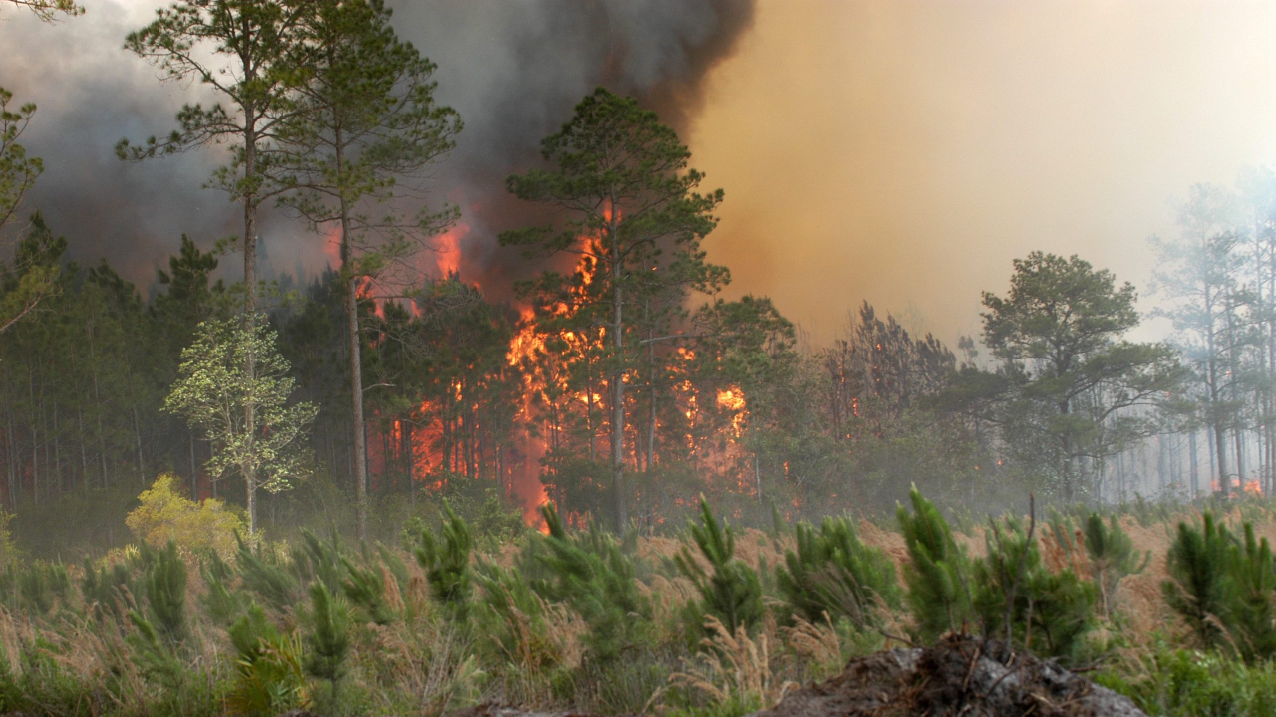


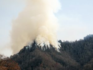
Wildfire is a natural hazard that causes extensive damage to life and property, while also acting as a necessary disturbance agent for many forest ecosystems, including the plants and animals that depend on them. In the southeastern U.S., frequent, low-intensity wildfires were an important part of the historical landscape, occurring across millions of acres. But when extreme wildfires occur and get out of hand, they can put people at risk and cause massive damage to property, infrastructure, and even the ecosystems that normally are well-adapted to fire. At the same time, modern practices of suppressing wildfires have caused shifts in the build-up of fuels — flammable debris and undergrowth — in forest communities. Management practices such as the use of prescribed fire to intentionally set fires in a controlled setting to influence forest composition and reduce fuels have been a great success. Yet the risk of “the big one” ﹘ a large, catastrophic wildfire – is still out there and could increase under a warming climate. It is these large, damaging, and very expensive wildfires that have the greatest potential impact on ecosystems and human lives. Predicting the changing nature of these catastrophic wildfires, and the level of risk we could face in the future, is an important part of being able to smartly plan for a changing climate.

Understanding uncertainty around wildfires is also vitally important for restoring longleaf pine ecosystems. Historically, the longleaf pine ecosystems dominated the southeastern U.S., which naturally burned approximately every 1-3 years. But with increased urbanization, forest conversion, and fire suppression, longleaf ecosystems have nearly disappeared. Restoration efforts have greatly relied on prescribed burns to make strides in bringing back longleaf pine. Yet, with more expenses leaning towards fighting fire, the trade-off leaves fewer resources available for habitat management. Failure to successfully manage these habitats could lead to major economic and cultural losses, such as the loss of quail habitat for hunting.
In addition, some areas of concern during extreme fire events are peatlands, with their deep, carbon-rich soils. Sweeping ground fires that burn up peat can release significant amounts of stored carbon back into the atmosphere. Beyond this, recovery periods of rebuilding peat and vegetation are extensively long.
A recent publication by SE CSC Research Ecologist Adam Terando, along with SE CSC Faculty Affiliates Brian Reich, Krishna Pacifici, Jennifer Costanza, and Jaime Collazo, offers new insight into these changing wildfire risks in the SE CSC region. The study also provides an important example of new methods that are being used to better represent the uncertainty in our climate change projections.
[ctt template=”3″ link=”dMpuh” via=”no” ]“…providing probabilistic measures of events (e.g., months with unusually large amount of hectares burned by wildfires) using all available information and uncertainties is an essential step in decision making.”[/ctt]
Using 22 million acres of Georgia’s coastal plain as a case study, the researchers took advantage of nearly 50 years of wildfire records to understand which seasonal weather conditions were more likely to result in extreme wildfire events. But to account for the noisiness of these data, they used an approach called Bayesian Model Averaging that makes it possible to consider several similarly plausible models all at once. The resulting ecological model takes the information from all these models and estimates the probability that an extreme wildfire will burn a large amount of acreage for a given month’s weather conditions. The final step was to use the same Bayesian Model Averaging approach to combine the results from multiple climate models that were downscaled as part of a previously funded SE CSC project. By carefully combining the ecological and climatological models, the researchers were able to project changes in the probability that extensive wildfires would occur under different scenarios of climate change. Importantly, they found that although the single most likely model result was that there would be about the same amount of acres burned from extreme wildfires regardless of the climate change scenario, the ‘tail risk’, or the risk that the region would experience very large increases in extreme wildfires, is substantially higher under a scenario of high greenhouse gas emissions that result in hotter summers.
These results have important implications for decision making as they help to inform natural resource managers that are planning for the future. By understanding the changing nature of the risk of large wildfires, managers can better tailor actions and strategies to try to get ahead of the worst outcomes that could arise over the next several decades, resulting in important ecological and economic benefits to society.
This publication drew upon research that was part of Southeast Regional Assessment Project (SERAP): Assessing Global Change Impacts on Natural and Human Systems in the Southeast, a large, multi-year project funded by National Climate Change and Wildlife Science Center and the SE CSC. The project aimed to provide decision-based science to natural resource managers and conservation planners, who in turn can effectively manage ecosystems in the face of changing climate and land use.
The publication is part of a newly published volume that grew out discussions held during a special session on Uncertainty in Natural Hazard Assessment at the 2013 American Geophysical Union Fall Meeting.
Related Posts
SE CSC: New Video: From Fire Comes Light
SE CSC: Researcher Spotlight – Michael Just
National Wildlife Federation: Scorched Earth
More Information about wildfires in the Southeast
Cost of Fire Suppression: In 2016, the United States federal cost of fire suppression was about ~$2 billion. The DOI alone spent $371,739,000 in fire suppression. (National Interagency Fire Center, 2016)
Pigeon Forge: In 2016, a total of 17,410 acres burned in the Pigeon Forge Tennessee fire. 12 killed, 141 treated with injuries. Sevier County Mayor Larry Waters put the damages at $500 million. Fighting the fire alone cost $8.8 million, with 780 firefighters from 40 states, 61 engines, 7 helicopters, and 5 dozers (USA Today).
Okefenokee (West Mims) Fire 2017: Just last May, the Okefenokee Wildfire burned more than 150,000 acres – twice the size of the city of Atlanta – after being struck by lightning. Controlling the fire required 10 helicopters, three fixed-wing air tankers, 136 wildland fire engines, 61 bulldozers, five hand crews, and 1,045 personnel. (Atlanta Georgia News).
- Categories: