Modeling the River of the Lumbee
Original post by Jocelyn Painter, undergraduate research assistant to Dr. Ryan Emanuel (NCSU College of Natural Resources)
[divider scroll_text=””]
“Writing about the Lumber River, to a man who has spent his summers in dalliance with her, is like writing about his sweetheart. She is a coquettish, as subject to change, as teasing as any girl that goes; and no human angel ever possessed more variable hues and tints and shadows in her misty eyes than his unconscious flirt, where the reflection of flags and reeds and rushes ripple below her banks” – John Charles McNeil
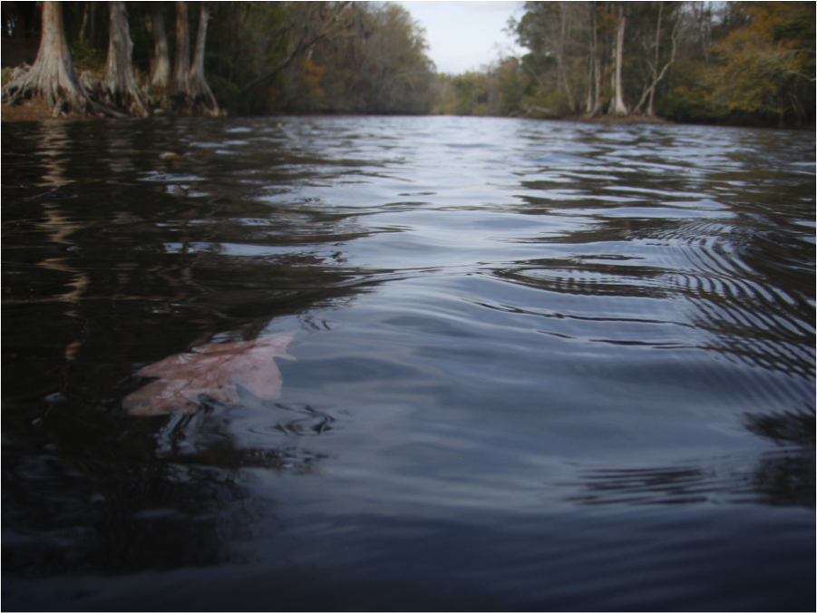
The Lumber River, or Lumbee River as many of the locals call it, flows through the home of one of the largest Native American populations east of the Mississippi—the Lumbee Tribe. The Lumbee River gives life to the land, history, and people of the Lumbee Tribe: providing fishing and hunting grounds, a setting for legends of fearless Lumbee men and women, a freshwater resource, and until recent times a drinking water resource. However, the river is changing and, as the resilient people of the Lumbee Tribe are joined to the river, they will also see change in the coming years. Our project aims to predict some of the changes to the river and to start a conversation with the Lumbee Tribe about preemptive action and conservation in the Lumbee River Watershed.
The Lumbee River Watershed can be imagined as a 1200 square mile boundary circumscribing communities that include Pembroke, Lumberton, Maxton, and Boardman. The watershed is defined physically as the area containing all land on which water will fall and form runoff, exiting through one shared outlet. Features such as soil type, land cover, and slope further characterize the watershed. We use computer simulations from a program called ArcSWAT (Soil and Water Assessment Tool) to map and analyze the watershed, and to predict the river’s behavior under present-day and future conditions. Uniquely, watershed features act both as independent variables and dependent with one another to create a lively hydrologic response to variations in climate. We can note that each independent feature has a predictable effect on the river, but when we are presented with an interactive set of variable features we use statistical methods to better understand the sometimes-unpredictable anatomy of the river’s response. Once we understand these responses and have the model running under present-day conditions, we can extend the model to the year 2060 for which we have predictions regarding land cover and climate change. One goal of the Lumbee River Watershed project is to share this knowledge with the communities who call this home—specifically the Native Lumbee community. Native Americans residing in the watershed have a rich knowledge of the river and lands surrounding it, and we hope that our study of the river’s future can be joined with traditional knowledge about the river’s past and present to make an interesting and productive dialogue with the Tribe and other communities.